Destinations
Day trips and weekend escapes from Mini Goa — hills, lakes, forts and shrines across Punjab, Himachal and Jammu.
Plan your next trip
Everything within a day's drive of Pathankot
Pathankot sits where Punjab meets Himachal and Jammu, so the dam lakes, the Dhauladhar hill stations and Amritsar are all an easy drive. Start at Mini Goa, then pick a direction.
- Places
- 28
- Regions
- 4
- Closest
- ≈ 50 m
- Farthest
- ≈ 250 km
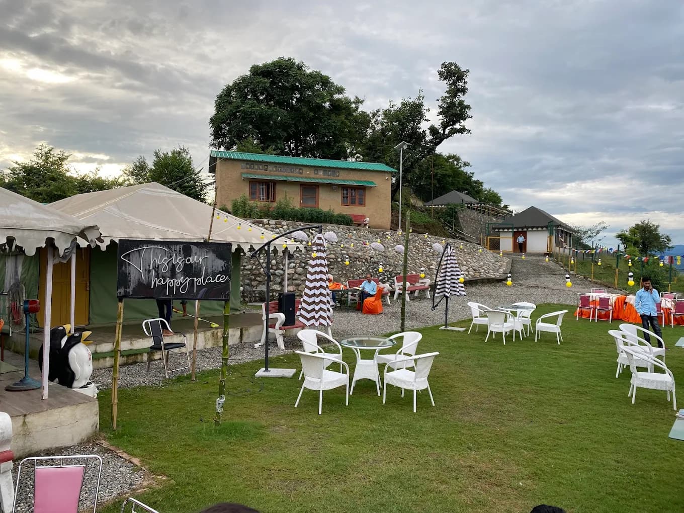 ≈ 50 mNature hutsDhar Nature Retreat HutsLakeside forest huts run by the village committee, right next to Mini Goa.
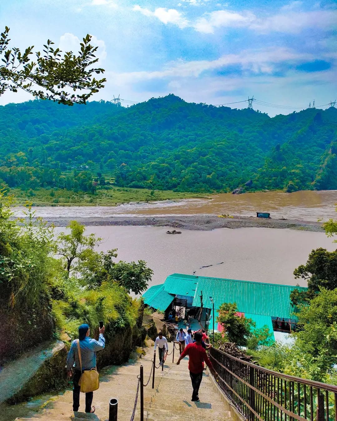 ≈ 10 kmDam & reservoirRanjit Sagar DamHuge Ravi reservoir ringed by the Shivalik hills.
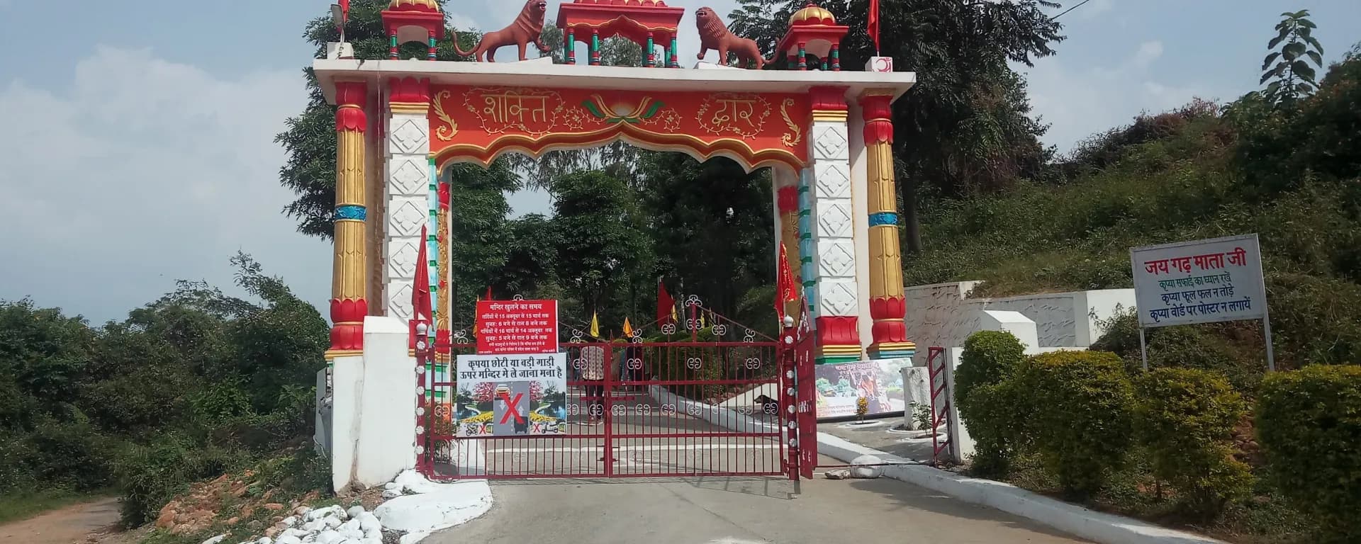 ≈ 20 kmKali templeGarh Mata TempleOld Kali temple in Karoli village, busiest on Tuesdays.
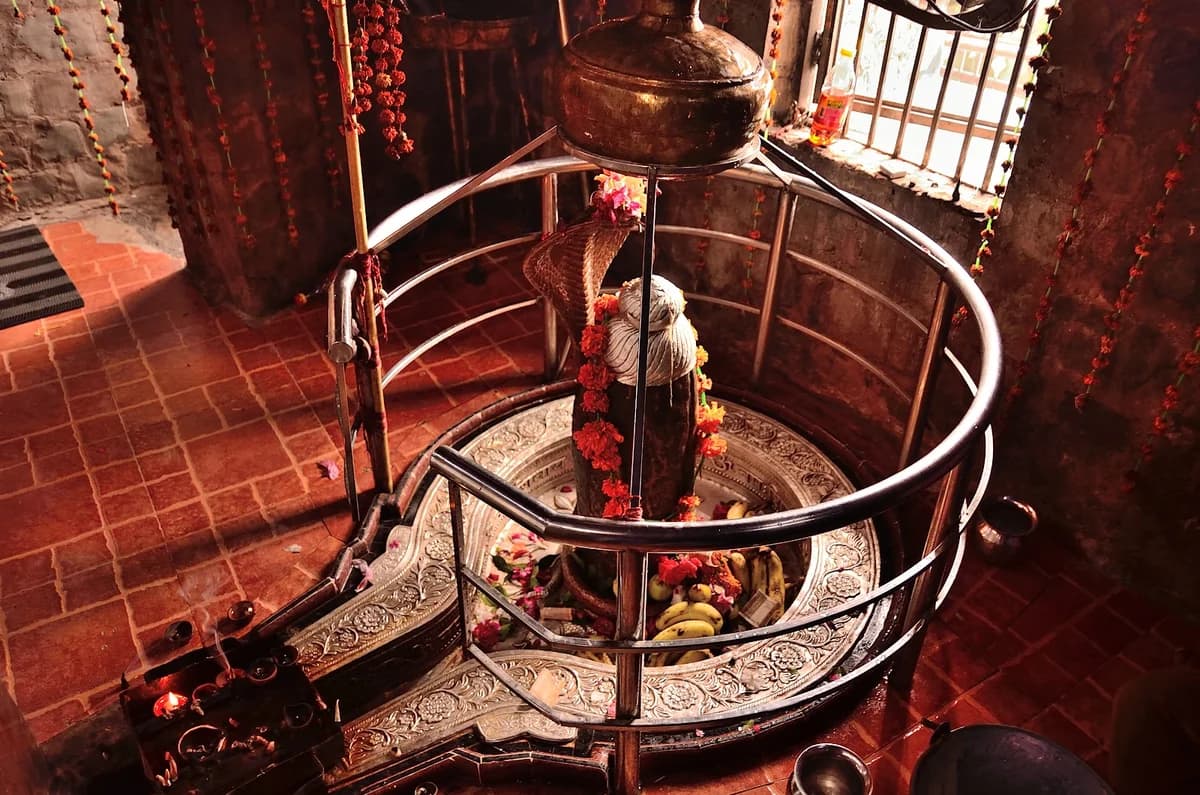 ≈ 22 kmCave templeMukteshwar MahadevShiva cave temple above the Ravi, carved into the hillside.
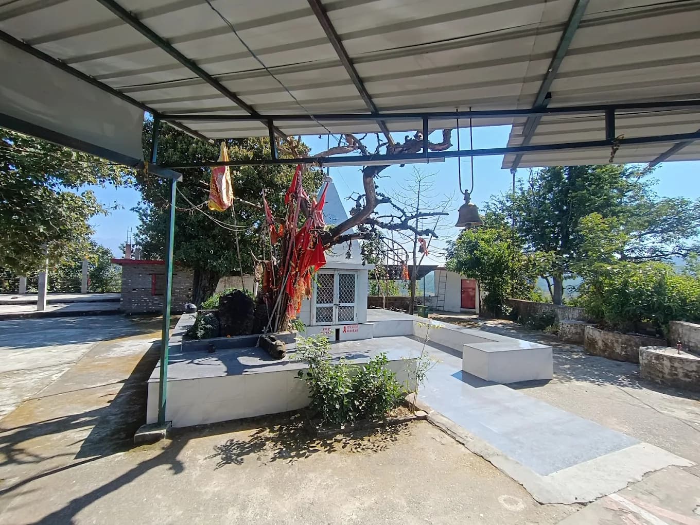 ≈ 27 kmHilltop templeTikkar Mata TempleHilltop shrine a short drive from Mini Goa with valley views.
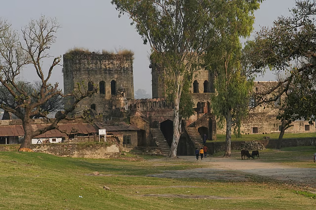 ≈ 27 kmHill fortNurpur Fort16th-century Pathania fort with a carved Krishna temple.
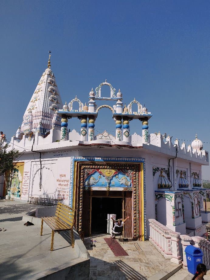 ≈ 30 kmShiva templeKathgarh TempleAncient twin-Shivling temple where the Beas meets the Choch.
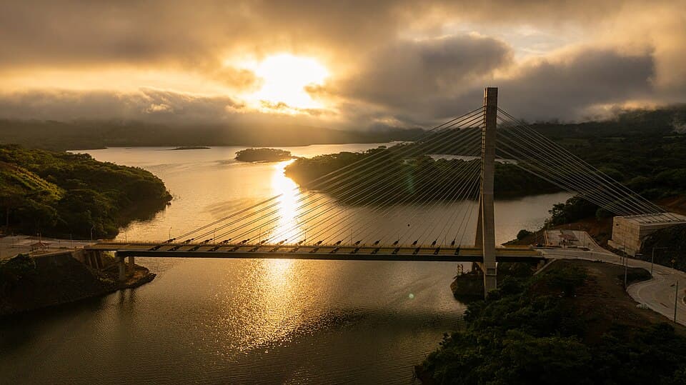
- ≈ 50 kmCable bridgeAtal Setu, BasohliCable-stayed bridge over the reservoir linking Punjab and J&K.
 ≈ 70 kmWetland & birdsPong Dam LakeWinter home to thousands of migratory birds.
 ≈ 70 kmRock-cut templesMasroor Temples8th-century monolithic temples cut from a single rock.
 ≈ 80 kmHill stationDalhousieColonial hill station of pine walks and old churches.
 ≈ 85 kmHistoric fortKangra FortOne of India's oldest forts, above the Banganga gorge.
 ≈ 90 kmHill townDharamshala & McLeod GanjTibetan monasteries, cafés and Dhauladhar treks.
 ≈ 100 kmMeadow & lakeKhajjiarDeodar-ringed meadow often called India's mini Switzerland.
 ≈ 105 kmLakeChamera LakeRavi reservoir below Dalhousie with boating.
 ≈ 115 kmTea gardensPalampurTea estates with the Dhauladhar as a backdrop.
 ≈ 120 kmHeritage townChambaOld Ravi-side town of stone temples and the Chaugan.
 ≈ 145 kmParaglidingBir BillingIndia's paragliding capital, with Tibetan colonies below.
 ≈ 80 kmPilgrimageKartarpur CorridorDera Baba Nanak, gateway to Gurdwara Darbar Sahib Kartarpur.
 ≈ 110 kmGolden TempleAmritsarGolden Temple, Jallianwala Bagh and the best kulchas.
 ≈ 120 kmPalace townKapurthalaFrench-style Jagatjit Palace and the Moorish Mosque.
 ≈ 135 kmBorder ceremonyAttari–Wagah BorderThe evening Beating Retreat ceremony at the border.
 ≈ 170 kmSikh heritageAnandpur SahibTakht Sri Kesgarh Sahib and the Virasat-e-Khalsa museum.
 ≈ 175 kmBird sanctuaryHarike WetlandWhere the Beas and Sutlej meet — a birding hotspot.
 ≈ 250 kmRoyal cityPatialaQila Mubarak, royal gardens and Patiala shahi lassi.
 ≈ 110 kmTemple cityJammuBahu Fort, Raghunath temple and the Tawi riverfront.
 ≈ 160 kmPilgrimageVaishno Devi (Katra)Base town for the trek to the Vaishno Devi shrine.
 ≈ 210 kmHill stationPatnitopPine-forest plateau on the Jammu–Srinagar highway.
Distances are approximate road distances from Pathankot city. Places marked ↗ open in Google Maps; the rest have a full guide on this site.
Photo credits
- Pong Dam Lake: Vikasjariyal (CC BY-SA 3.0)
- Masroor Temples: Dhruvaeng (CC BY-SA 4.0)
- Dalhousie: Tejamamidiphotography (CC BY-SA 4.0)
- Kangra Fort: Ranaa0096 (CC BY-SA 4.0)
- Dharamshala & McLeod Ganj: Adam Jones from Kelowna, BC, Canada (CC BY-SA 2.0)
- Khajjiar: Harvinder Chandigarh (CC BY-SA 4.0)
- Chamera Lake: Amit J Sangekar (CC BY-SA 4.0)
- Palampur: UnpetitproleX (CC BY-SA 4.0)
- Chamba: Ms Sarah Welch (CC0)
- Bir Billing: PanWoyteczek / UnpetitproleX (CC BY-SA 4.0)
- Kartarpur Corridor: Shahzaib Damn Cruze (CC BY-SA 4.0)
- Amritsar: Dey.sandip (CC BY-SA 4.0)
- Kapurthala: Harvinder Chandigarh (CC BY-SA 4.0)
- Attari–Wagah Border: Guilhem Vellut (CC BY 2.0)
- Anandpur Sahib: Deziner89 (CC BY-SA 4.0)
- Harike Wetland: Spssm (CC BY-SA 4.0)
- Patiala: Journojp (CC BY-SA 4.0)
- Jammu: Nvvchar (CC BY-SA 3.0)
- Vaishno Devi (Katra): Lpp3535 (CC BY-SA 4.0)
- Patnitop: Saroj Kumar from Bangalore, India (CC BY 2.0)